
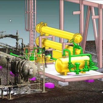
Digital Twin Solution
Our advanced 3D Laser Scanning and Scan to BIM services transform your existing structures into precise, detailed digital models. With our state-of-the-art scanning technology, we capture every inch of your project space in high resolution, creating a foundation for efficient planning, design, and construction.
About us
You will find the latest information about us on this page. Our company is constantly evolving and growing. We provide wide range of services. Our mission is to provide best solution that helps everyone. If you want to contact us, please fill the contact form on our website. We wish you a good day!
Our Expertise
Scanning Method
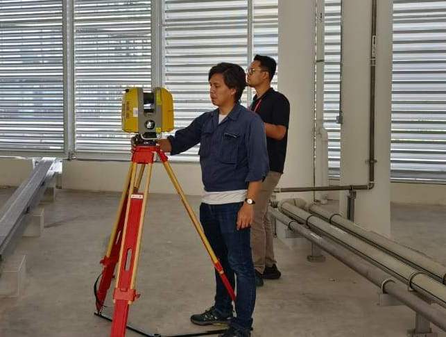
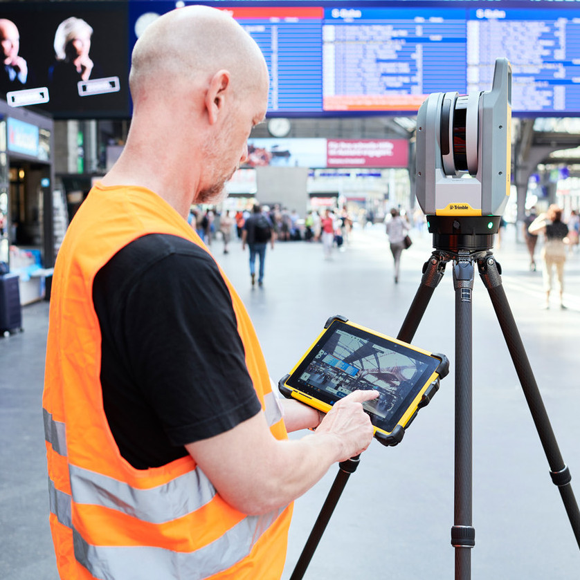
Terestial Laser Scanner
The terrestrial laser scanning (TLS) method is a ground-based surveying technique that uses LiDAR (Light Detection and Ranging) technology to capture highly accurate 3D measurements of objects, structures, and terrain. It's commonly used in construction, engineering, and heritage preservation for detailed spatial analysis and modeling.

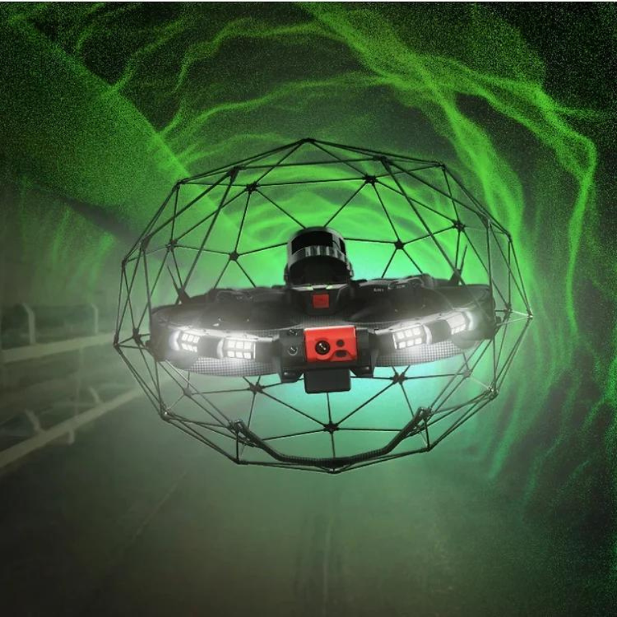
Drone Scanner
This method combines the agility of unmanned aerial vehicles (UAVs) with the precision of LiDAR (Light Detection and Ranging) technology. It provides an advanced solution for capturing detailed, high-resolution 3D spatial data, especially for large or complex areas.


Our Services
3D Laser Scanning
Drone Inspection
Clash Detection & Reporting
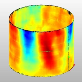
Tank Storage Analysis & Inspection
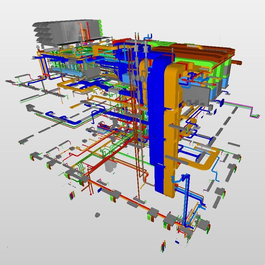
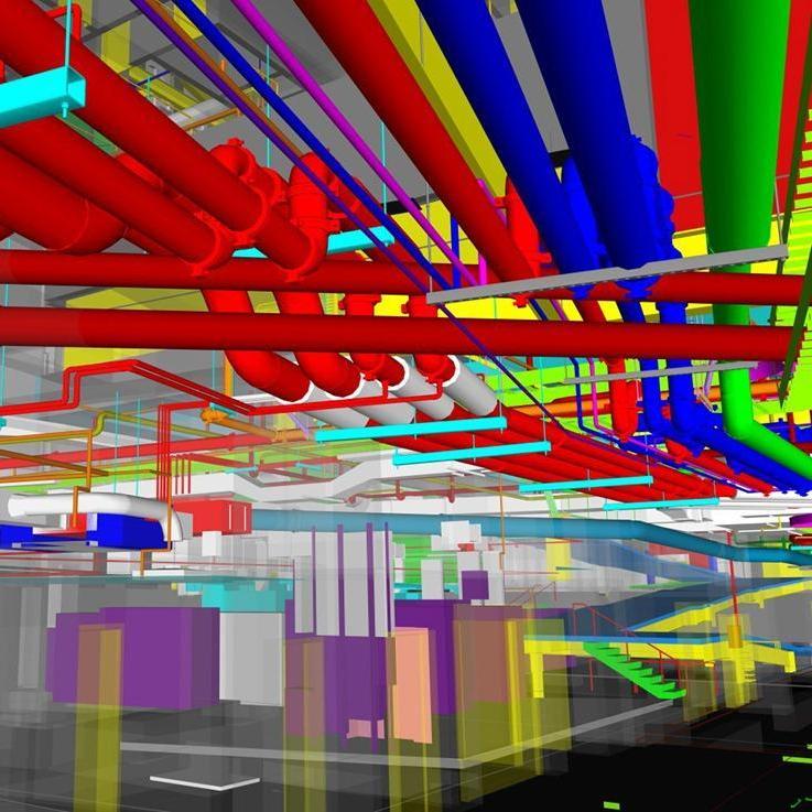
Building Information Modelling (BIM)
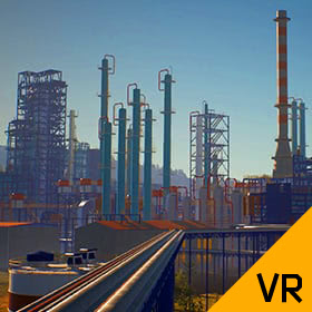
Virtual Design & Simulation
3D Modelling
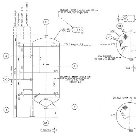
2D & Isometric Drawing